Research Presentations at BNIM

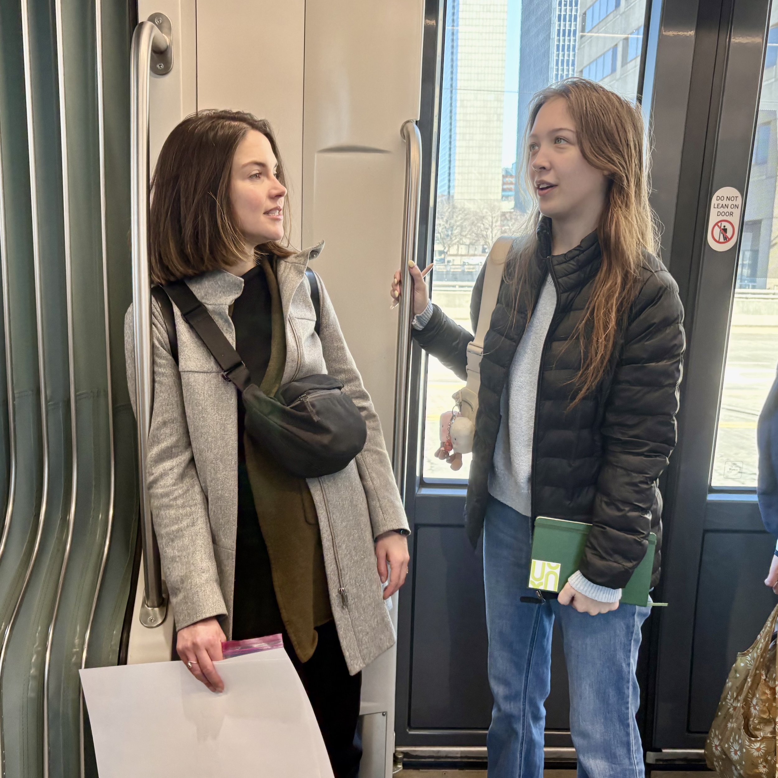
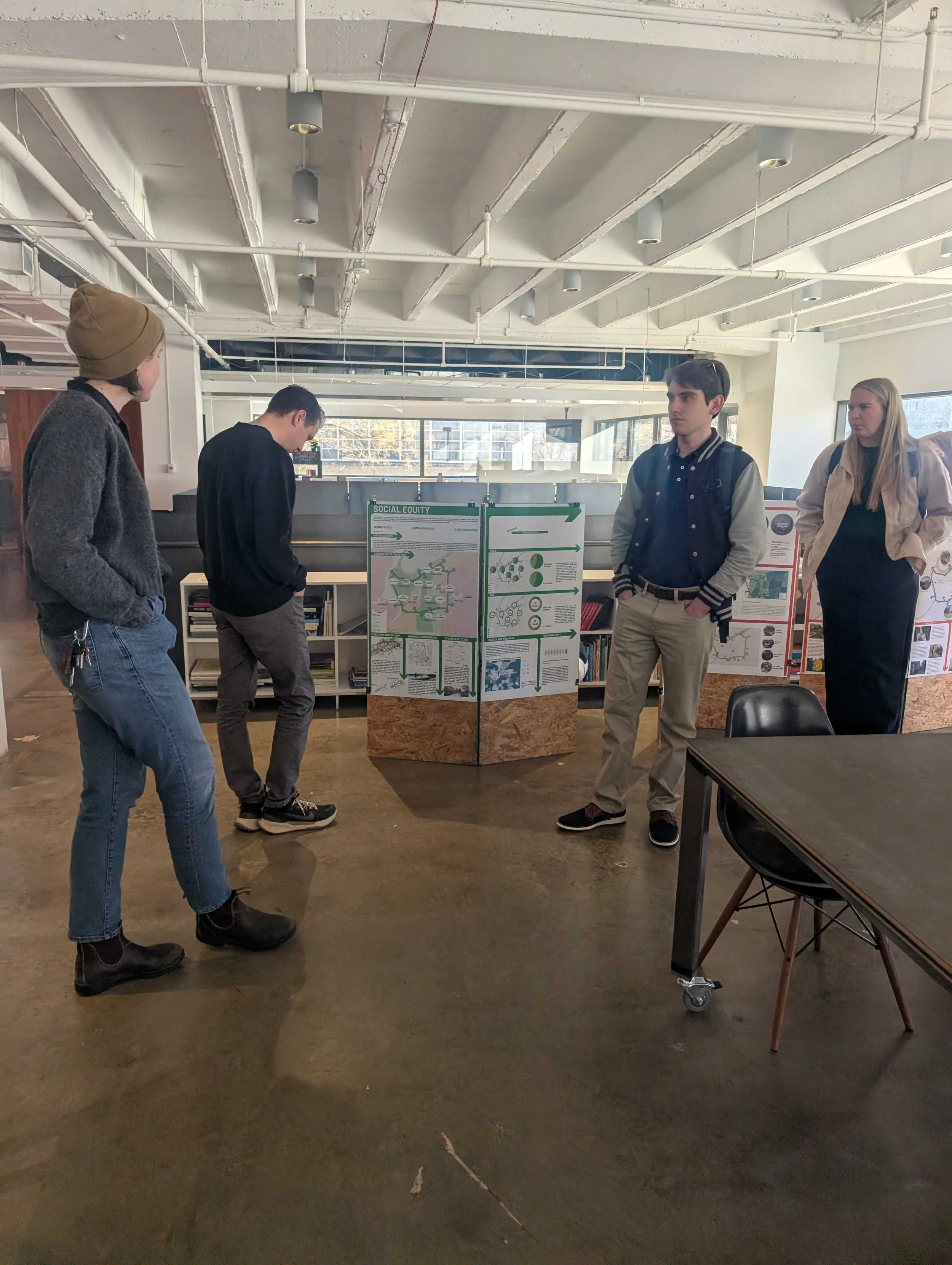
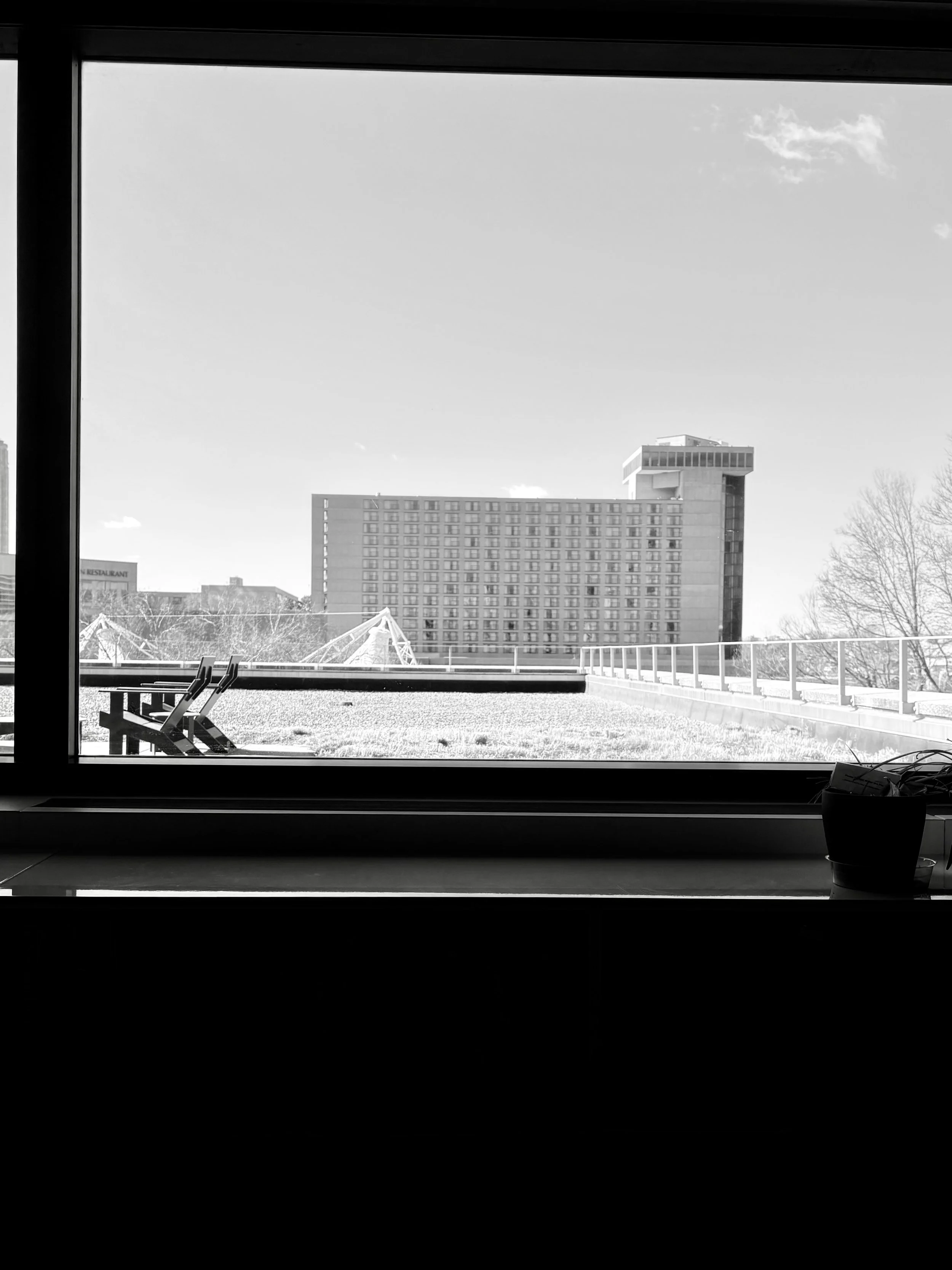
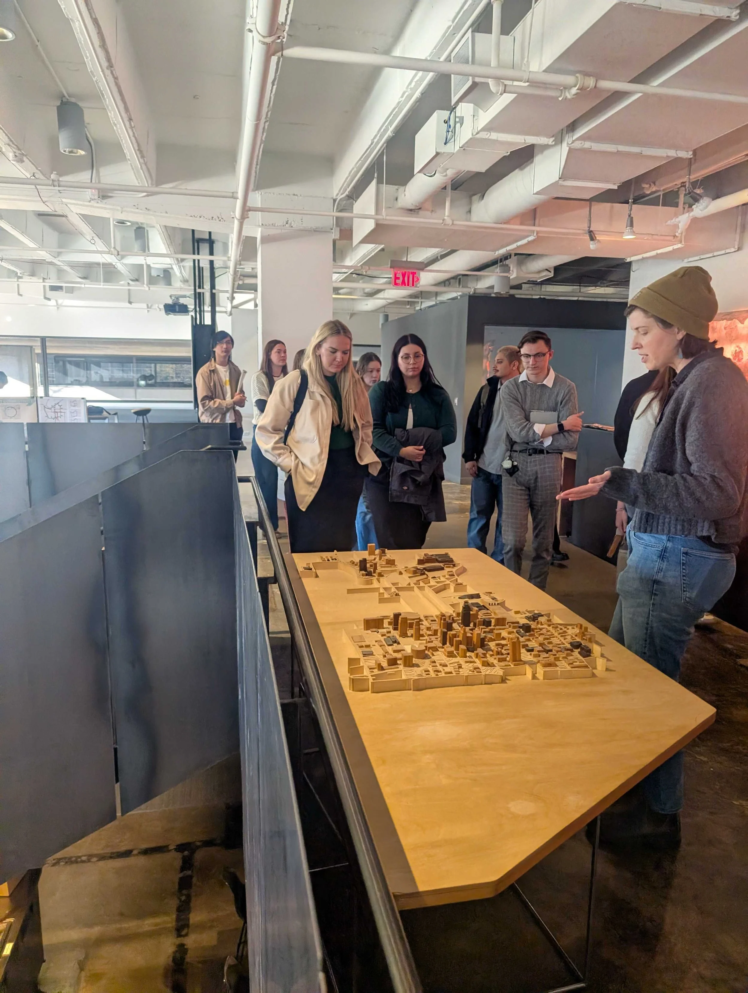
This week, KCDC took the streetcar down to BNIM to present the past few weeks of research that we have done for the Greenline. Architects at BNIM provided great sources for us to better understand climate change in Kansas City and challenges that are specific to our area. This research will inform how we will be designing the Greenline Project, as well as concerns that need to be addressed to make the future a reality.
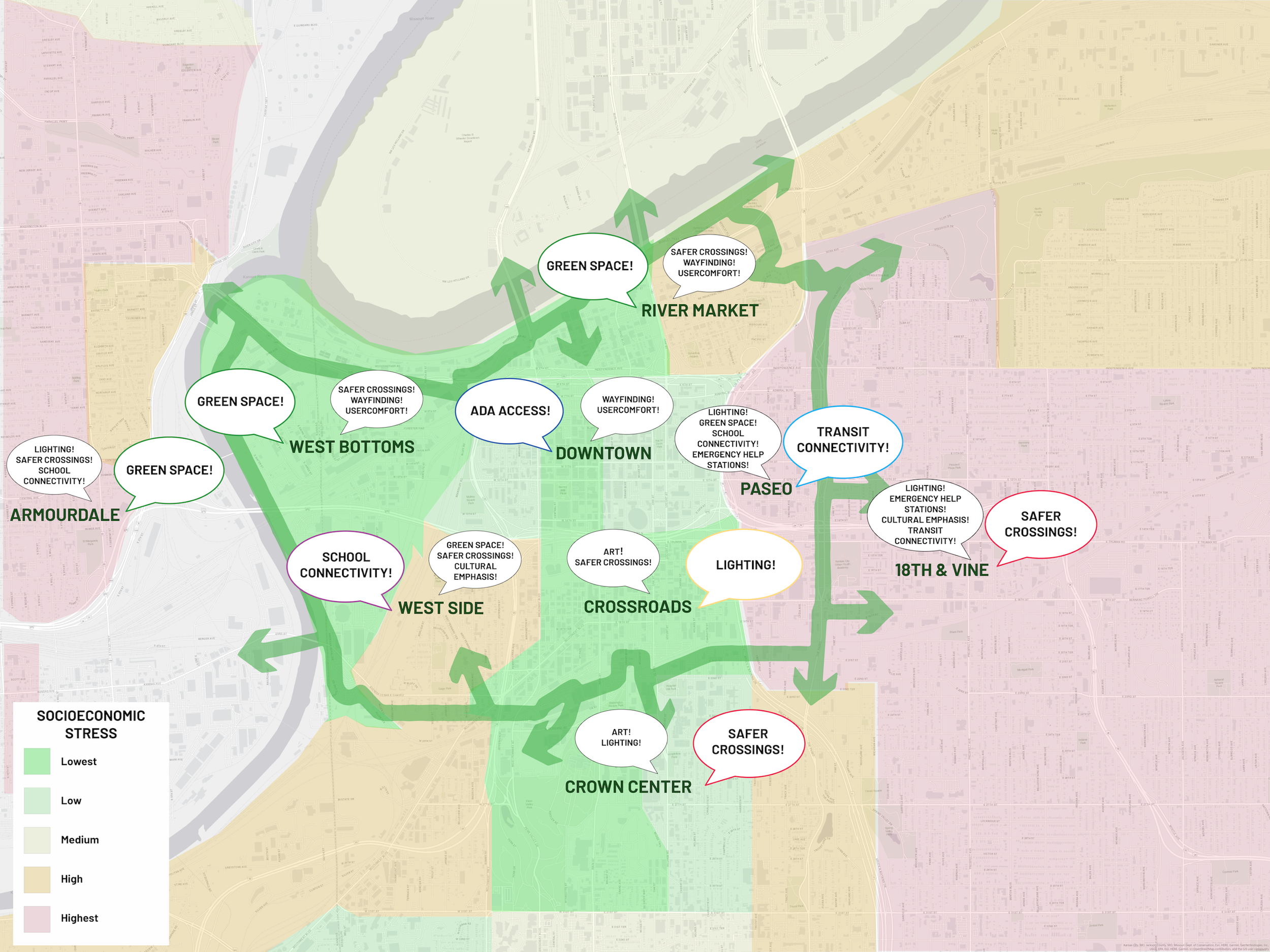
The total research for the project was split into five different groups: Community Connectivity, Social Equity, Environment and Ecology, Urban and Economic Impact, and Public Space and Characteristics. Community Connectivity would focus on the interactions between the larger transportation networks plus the historic parks and boulevard system. This would inform us how many people travel in Kansas City and the possibilities that we are looking forward to. Social Equity would focus on the social differences between the neighborhoods that make up Downtown KC and what their needs and wants are. Environment and Ecology focused on the current and future environmental impact that Kansas City has. Important things that they are asked to consider is the importance of water drainage and migratory species. Urban and Economic Impact would look into the gentrification that has and could occur within Kansas City. Additionally, taking on the question of reversing historic redlines. Public Space and Characteristics would study the common use of buildings and noteworthy aspects of our city.
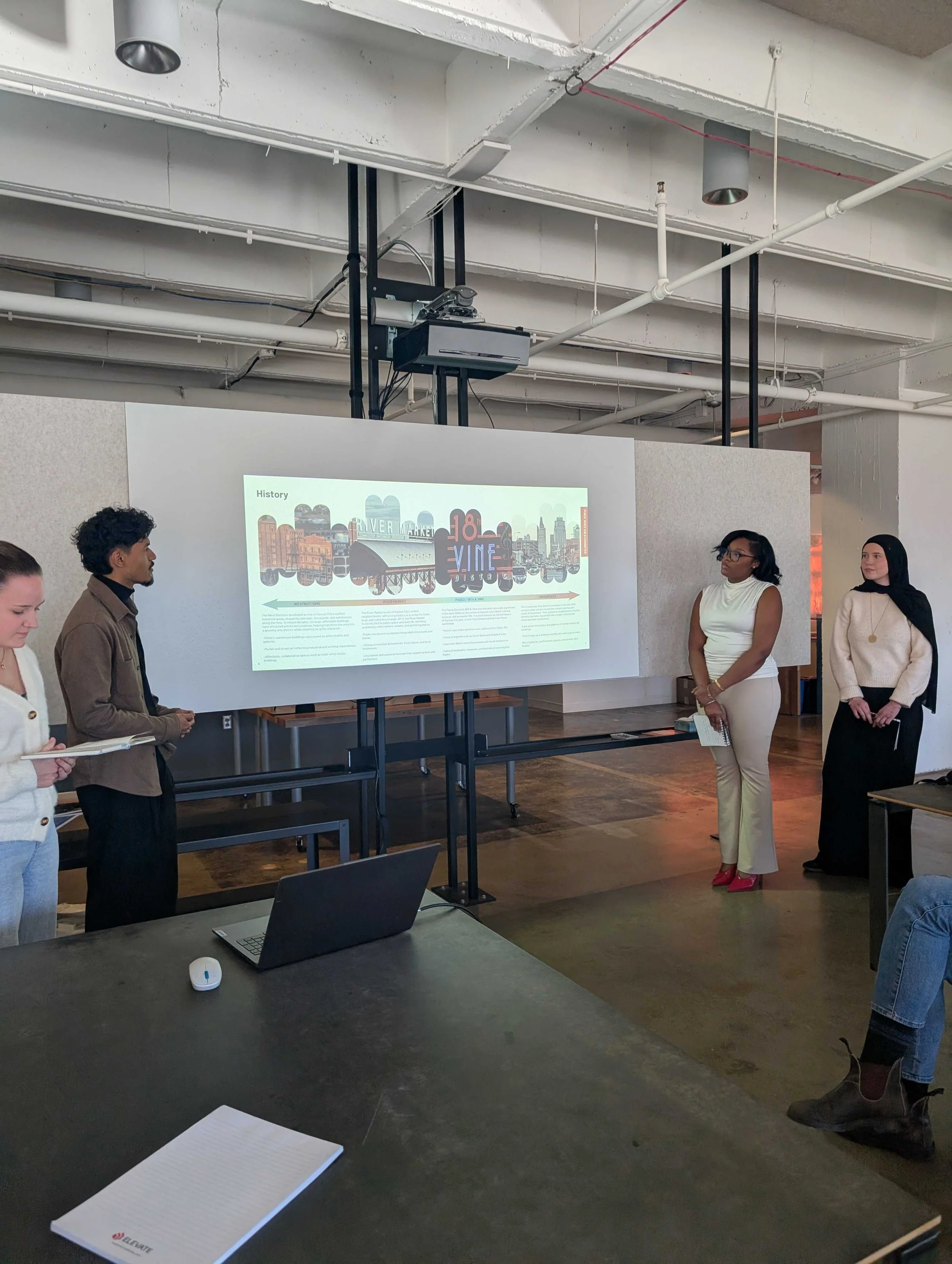
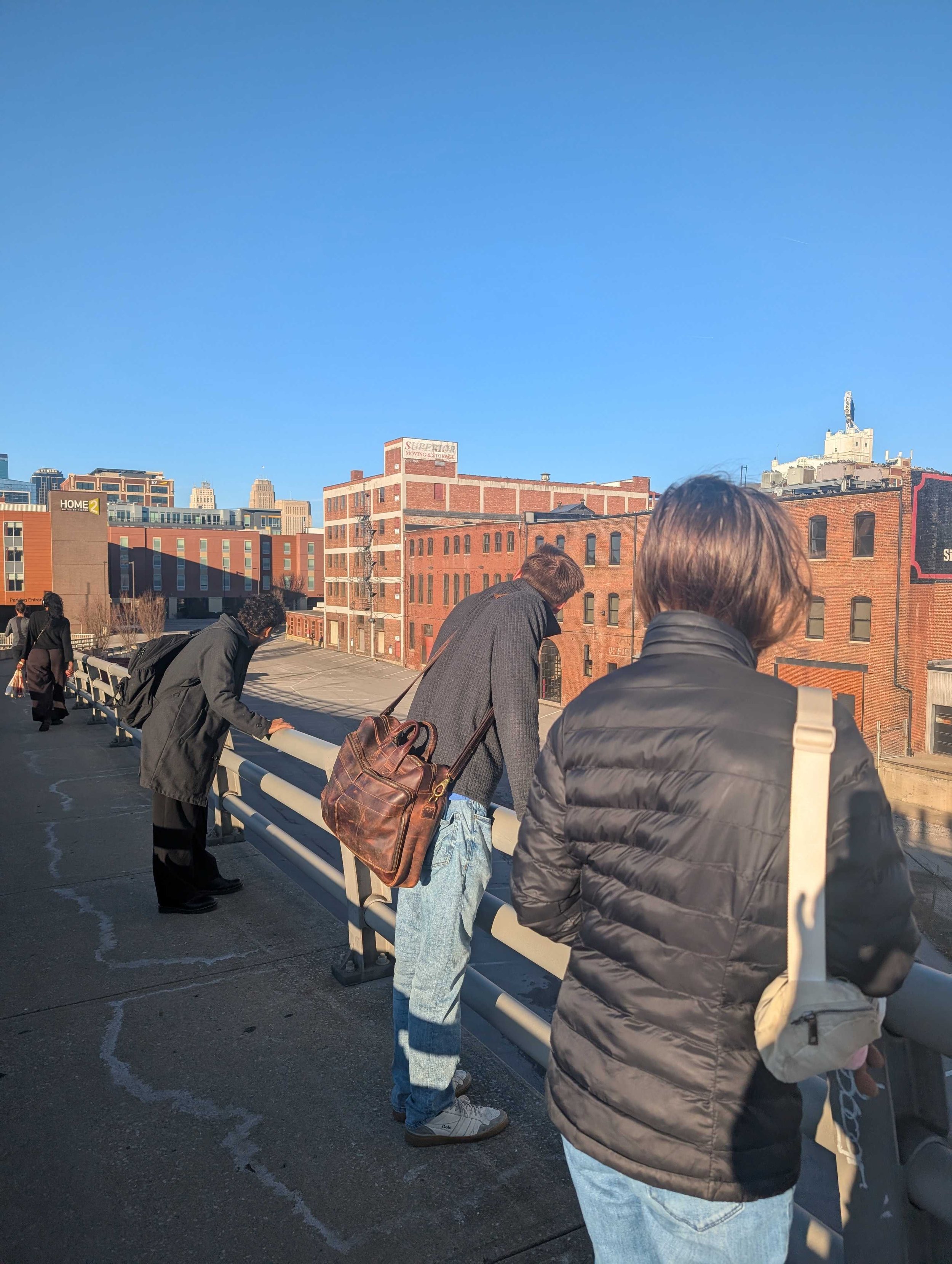
With this information, we will be moving into the initial design phase and making use of our research. We are splitting into four teams based on segments of the Greenline, with groups focused on the North, East, South, and West segments to address the distinct alignment opportunities and challenges within each area.

Written by Brady Smith, Architecture Student
"We've Built Cities We Can't Afford" Seminar with Dennis Strait

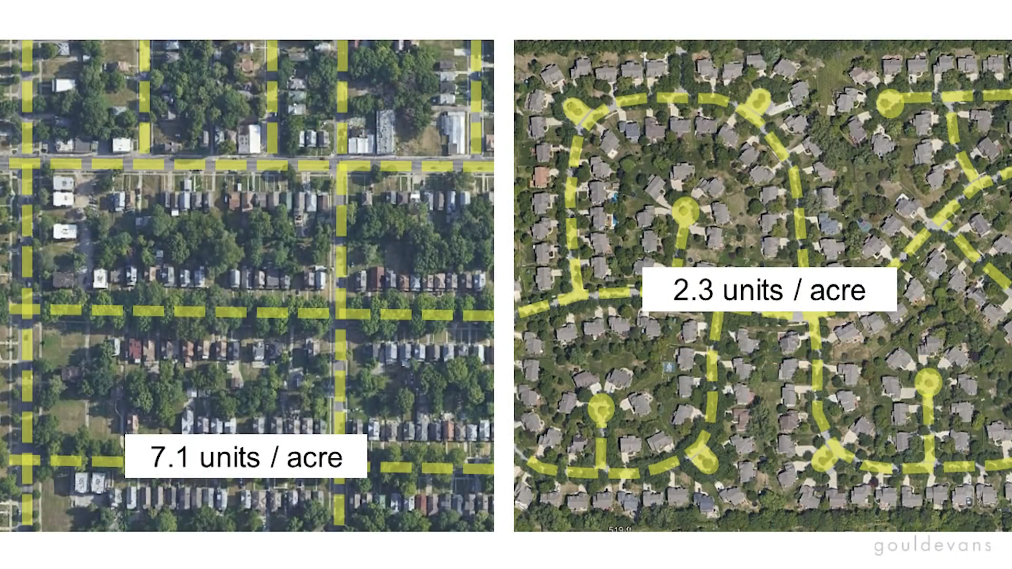
How we approach the development of our cities has the potential to benefit every resident that lives there, or it can lead to slow deterioration. This week, our studio was privileged to hear "We've Built Cities We Can't Afford" presented by Principal Emeritus Dennis Strait of Multistudio, which fundamentally challenges how we view development in Kansas City. Our city’s physical footprint has quadrupled since the 1950s, while our population in that area has remained flat. This has left us with massive infrastructure liabilities, over 6,500 miles of streets, that our current tax base simply can’t maintain. Data reveals that our older, pre-1950s neighborhoods (often mixed-use and higher density) are far more financially productive for the city than the sprawling, high-value suburban developments, which typically cost more in long-term infrastructure maintenance than they generate in tax revenue from day 1.

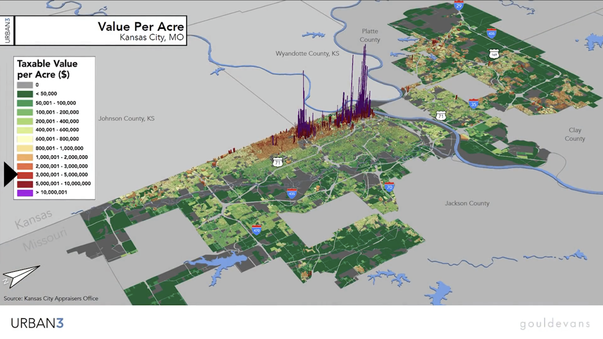
Multistudio, along with urban development firm Urban3, has worked to create value per acre maps, which visualize these economic disparities in an easy-to-understand graphic. By shifting our focus from value per parcel to value per acre, we can better identify opportunities for infill development and mixed-housing types (like duplexes and fourplexes) that utilize existing infrastructure. Currently, we continue to develop suburbs on the outskirts of the metro area that require more of every infrastructure type to support new residents, all while not having enough density to financially support themselves from day 1.

There is an urgent need to repopulate and reinvest in our city’s core, specifically Downtown and the East Side, to correct our financial imbalance over the next 30 years. Strait notes that while downtown represents the most "productive soil" in our region, our current tax code often incentivizes low value uses like surface parking lots rather than productive density. To solve our infrastructure crisis, we must shift focus away from building new roads on the edges and instead prioritize repopulating these central neighborhoods where infrastructure already exists. Ultimately, achieving a financially resilient Kansas City isn't just about math. It will require a shift toward cultivating our existing neighborhoods, rather than avoiding them. This means valuing the efficiency of our core, healing historic divides on the East Side, and choosing sustainable density over endless expansion.

Written by Alex Smith, Architecture Student

The Greenline Studio Kick-Off

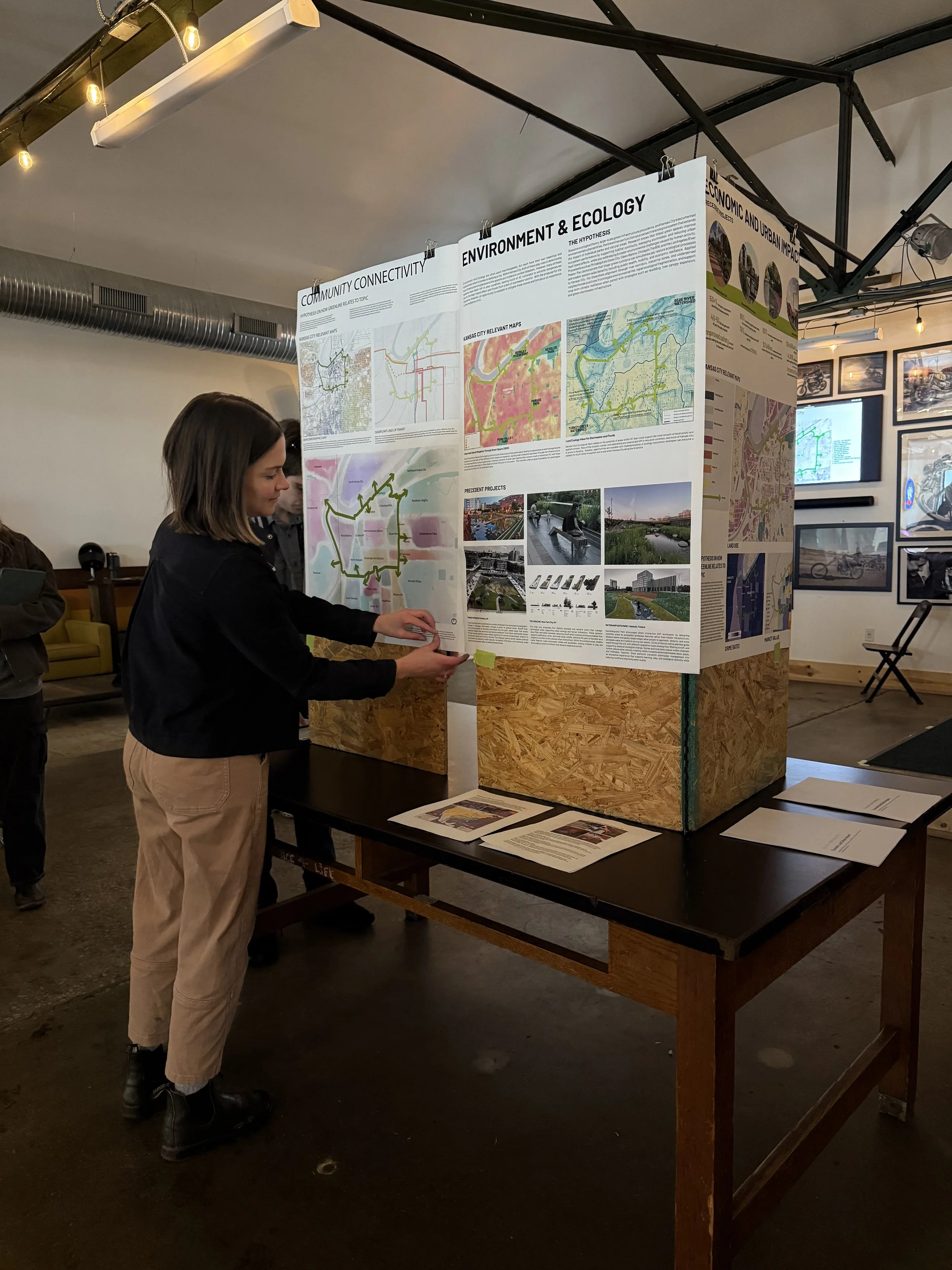
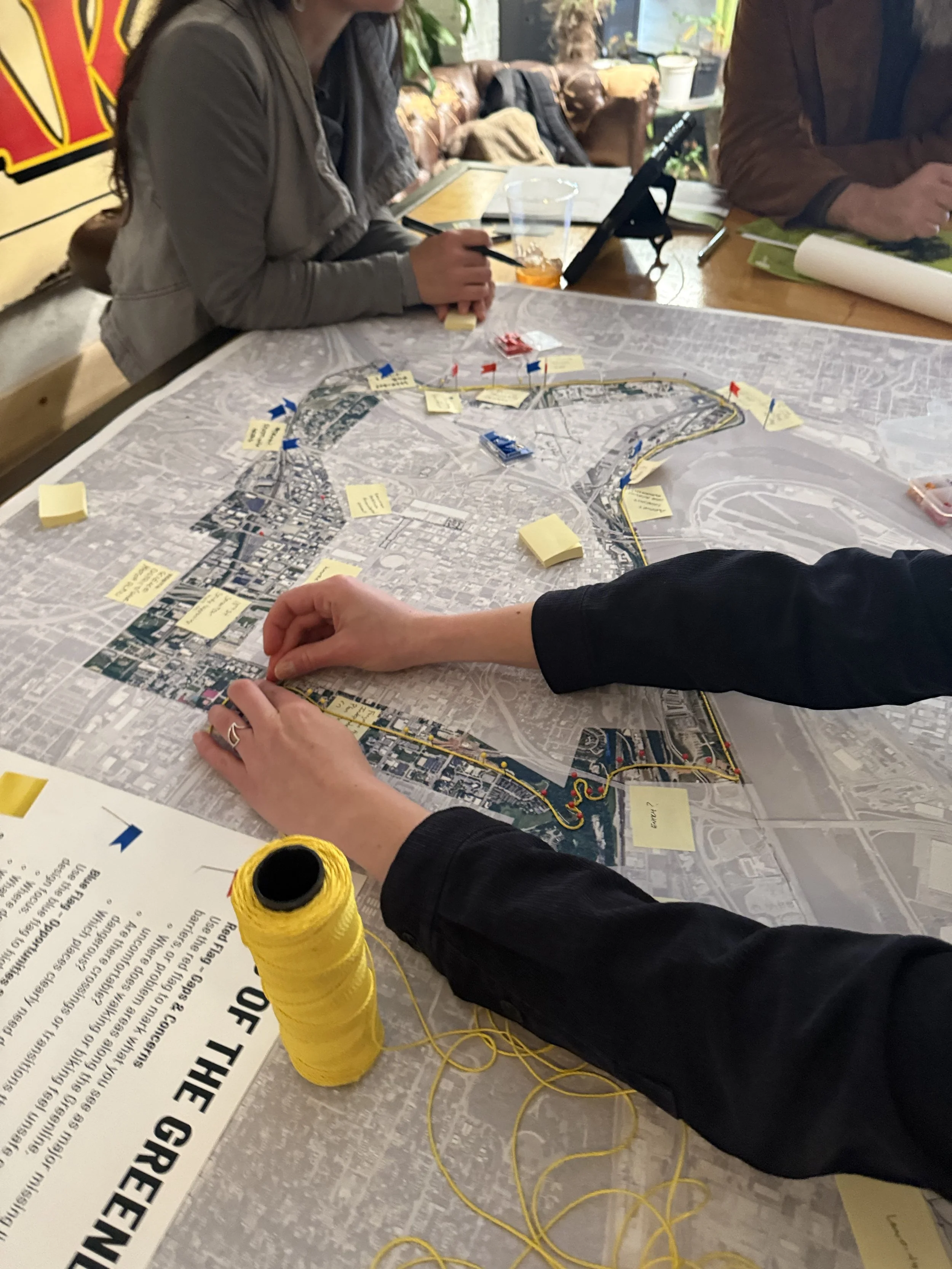
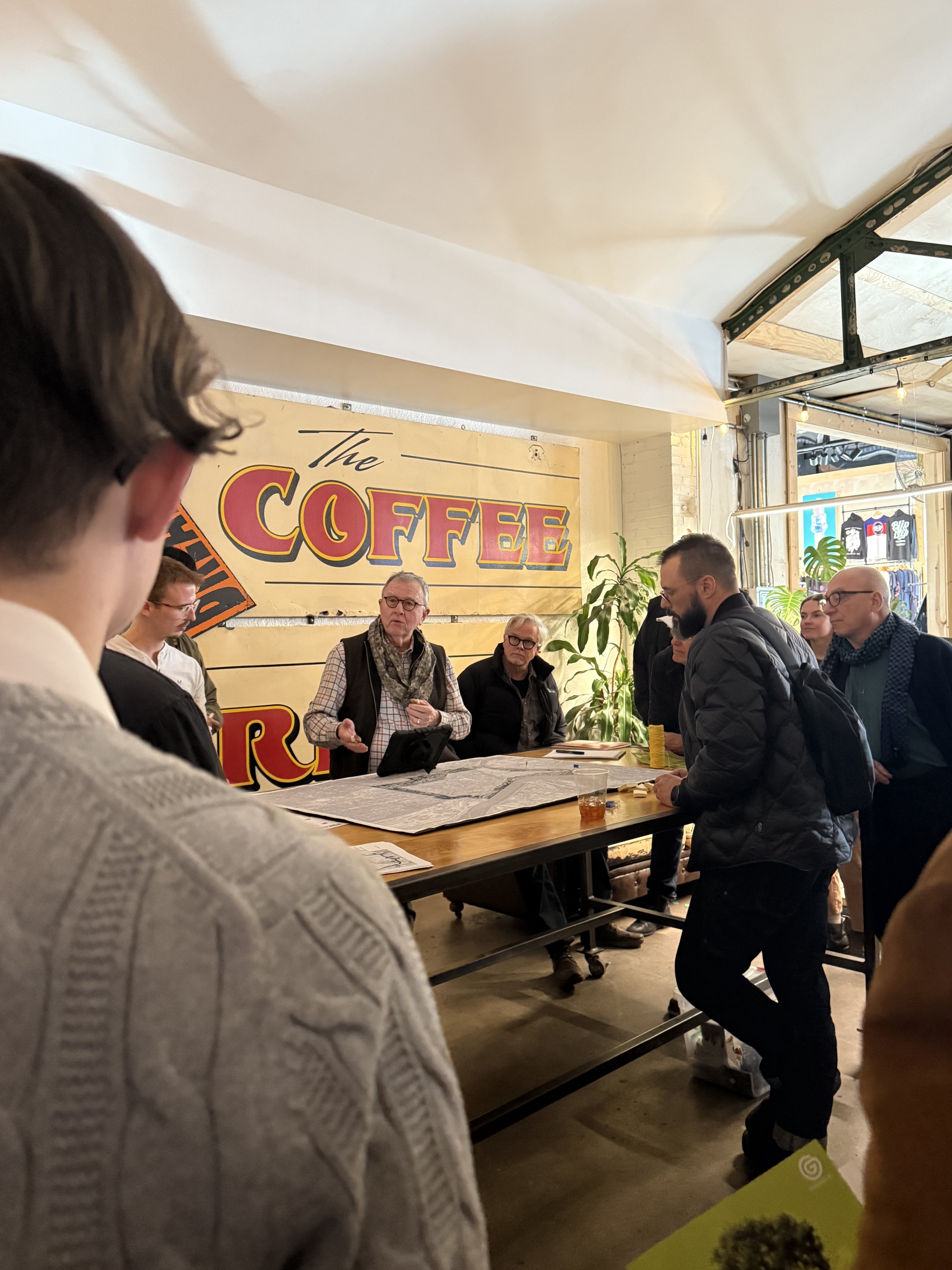
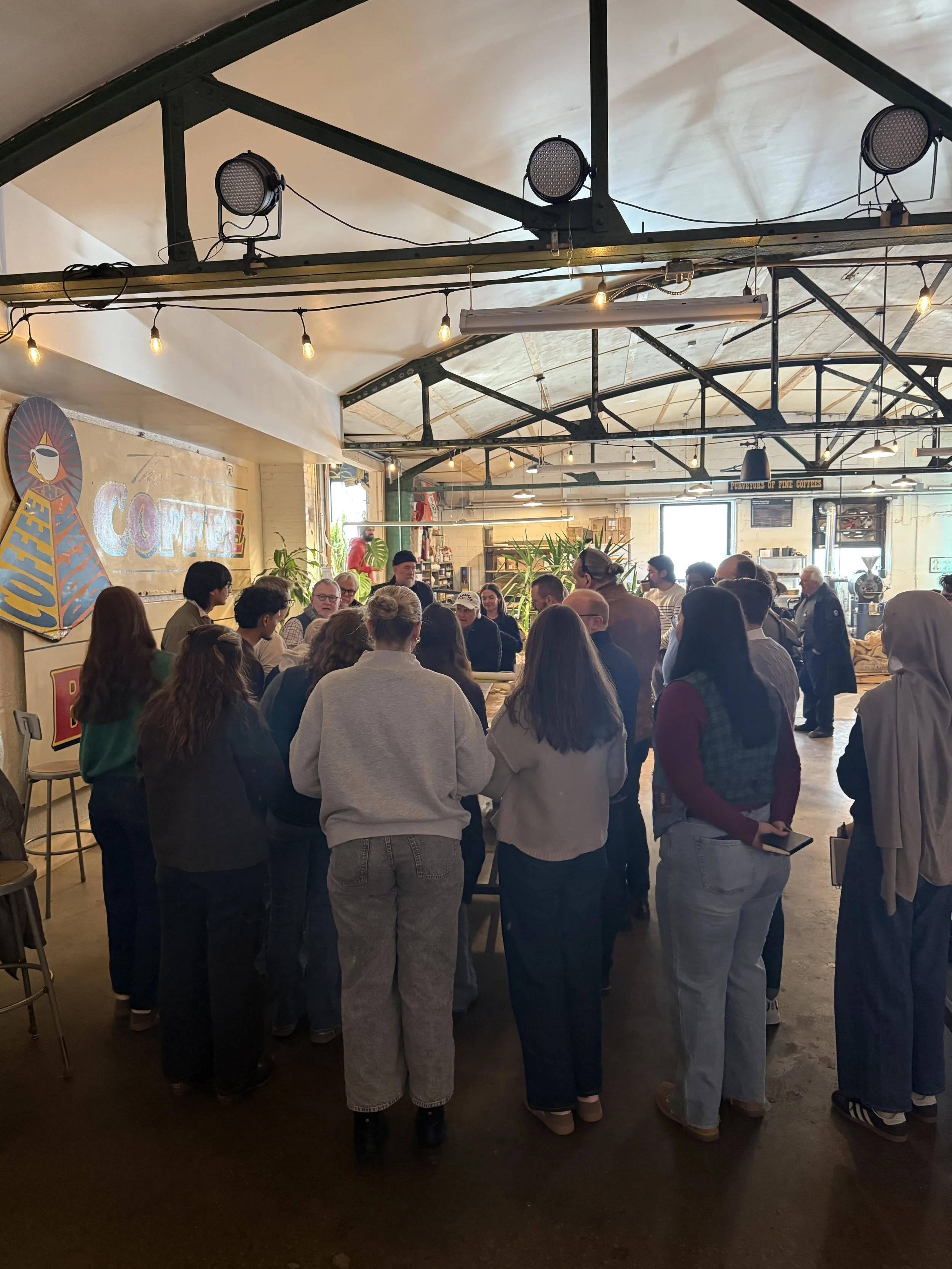
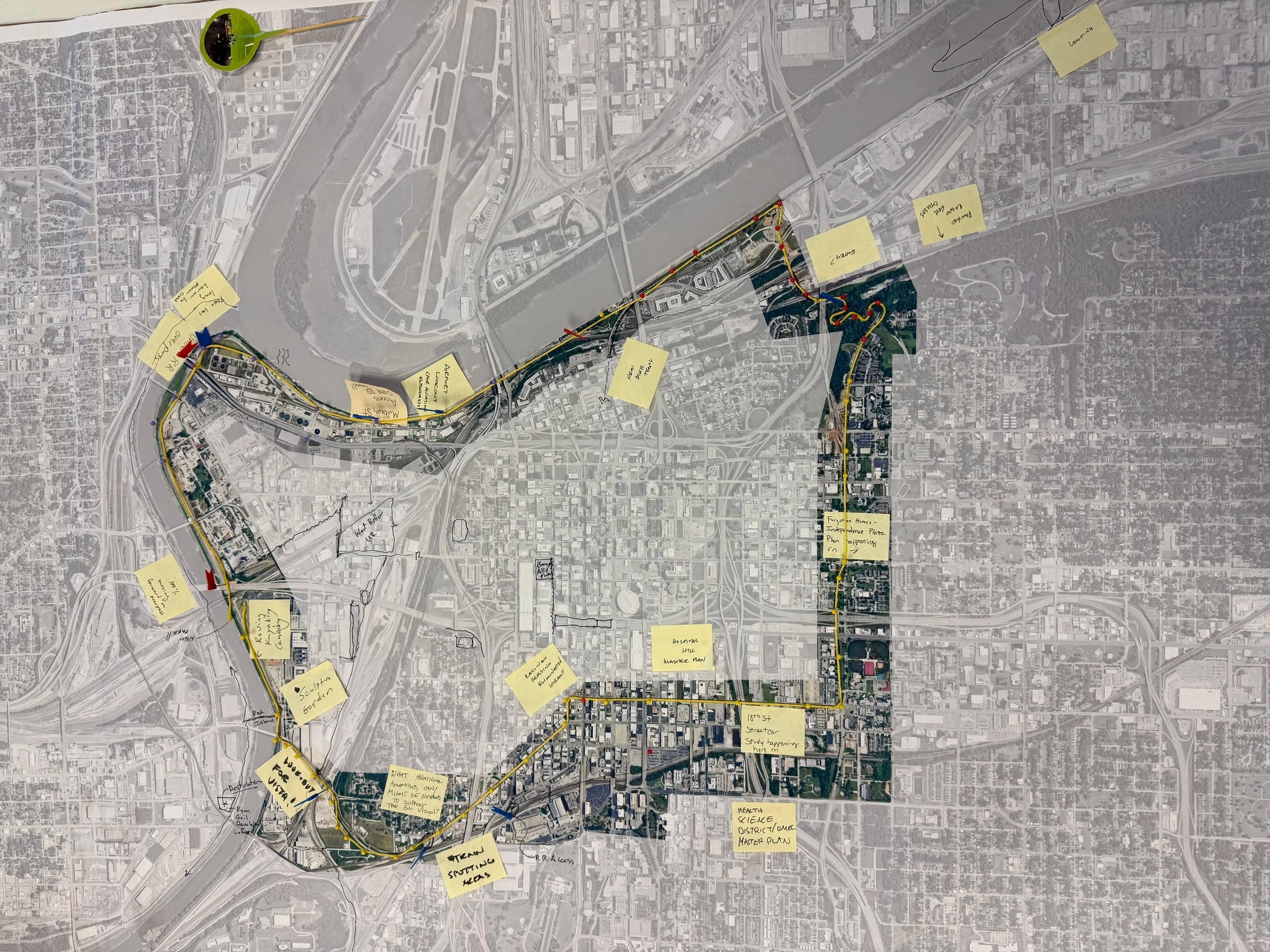
This semester, KCDC is studying the Greenline, a 10-mile urban trail that will loop around Downtown KC. This week, we went to Blip Coffee for our Community Kick-Off Event, where we presented our research across five focus areas: Community Connectivity, Social Equity, Environmental and Ecological Systems, Economic and Urban Impact, and Public Space Use and Character. Representatives from BNIM, the Downtown Council, BikeWalkKC, the Levee Betterment Project, and others attended to listen to our presentations and help us deepen our research.

The event began with a short talk by Steve McDowell from BNIM, who gave us background on the Greenline project and how it first emerged as an idea. He explained that the project began as a volunteer effort before gaining support from the Downtown Council, which helped move it forward. From there, the project secured funding through MARC and is now actively underway. He concluded his talk by reminding us that “designers are good at moving communities.”

The Greenline concept itself is not new. First proposed in 2019, the Greenline is an ambitious vision for a 10-mile recreational loop around downtown Kansas City, inspired by successful rails-to-trails projects like Atlanta’s BeltLine. Championed by developer Vince Bryant and supported by BNIM, the concept focuses on repurposing underutilized infrastructure, such as access roads along existing rail corridors, to connect neighborhoods, parks, and cultural districts. The Greenline aims to bring safer, greener paths that improve mobility, livability, and access to public space to people living in the urban core. With growing support from the Downtown Council and community organizations, the project represents a key step toward a more connected and people-centered downtown.

Following the kickoff, students continued to dive deeper into their research. The Community Connectivity team is studying the history of Kessler Park, downtown neighborhood connections, transit access, greenways, cycling infrastructure, and relevant case studies. The Social Equity team is focusing on population and demographics, health and wellness, and access to essential goods and services. The Environmental and Ecological Systems team is researching watersheds and stormwater mitigation, pollution reduction, ecological longevity, and greenway systems. The Economic and Urban Impact team is examining land use, displacement precedents, crime rates, and nearby development patterns. The Public Space Use and Character team is documenting neighborhood characteristics, trail segment identities, landmarks, and historical aspects along the corridor.

As we move into the next phase, we are beginning to think about how these findings will directly inform our design work. This phase will focus on connecting insights across teams, identifying key opportunities and challenges along the Greenline, and translating research into early design ideas. Our goal is to use this groundwork to guide thoughtful, community-centered design decisions as the project moves forward.

Written by Anna Hurst, Architecture Student